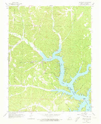
1959 Map of Gravois Mills
USGS Topo · Published 1973About this map
Gravois Mills serves as the focal point of this late-1950s survey of Morgan County, situated at the head of the Gravois Arm Lake of the Ozarks. The map captures a transitional period of development along the lakeshore, where natural landmarks like Natural Bridge and Jacobs Cave meet mid-century additions such as a Drive-in Theater and a nearby Fish Hatchery. The rugged topography is deeply dissected by numerous hollows, including Prairie Hollow and Factory Hollow, which drain into the branching arms of the reservoir.
Find a feature on this map
38 named features on this map. Tap any name to fly to it.
Don’t see what you’re looking for? This feature index may not catch every label — zoom into the map to look around manually.
Map Details
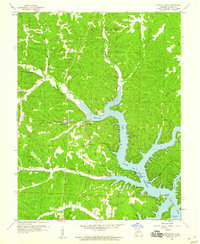
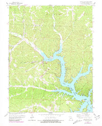
Editions of this 1959 Gravois Mills Map
3 editions found
Other maps of this area

1888 · Versailles
USGS Topo · 1:125,000

1893 · Versailles
USGS Topo · 1:125,000

1904 · Eldon
USGS Topo · 1:62,500

1904 · Gravois Mills
USGS Topo · 1:62,500

1932 · Versailles No 4
USGS Topo · 1:48,000

1934 · Purvis
USGS Topo · 1:24,000

1934 · Irontown Ferry
USGS Topo · 1:24,000

1934 · Lake Ozark
USGS Topo · 1:24,000

1935 · Gravois Mills
USGS Topo · 1:24,000

1935 · Proctor Creek
USGS Topo · 1:24,000