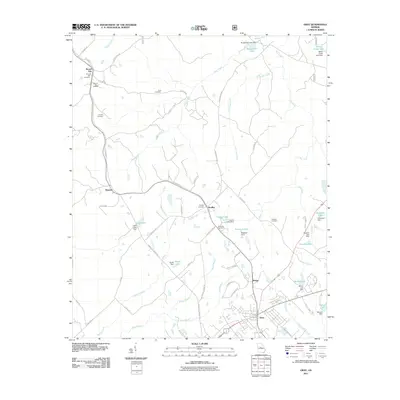
2011 Map of Gray
USGS Topo · Published 2011About this map
Gray and its northern surroundings in Jones County are characterized by a transition from organized residential streets to a landscape defined by small-scale reservoirs and creek systems. Water management is a central theme of this 2011 survey, with numerous family or locality-named impoundments such as Lowe Lake, Hulett Lake, and Cheatham Lake scattered across the terrain. These man-made features often follow the paths of Walnut Creek and Shoal Creek, reflecting local agricultural and land-management practices in central Georgia.
Find a feature on this map
67 named features on this map. Tap any name to fly to it.
Don’t see what you’re looking for? This feature index may not catch every label — zoom into the map to look around manually.
Map Details
Editions of this 2011 Gray Map
This is the sole edition of this map. No revisions or reprints were ever made.
Other maps of this area

1953 · Athens
USGS Topo · 1:250,000

1956 · Gordon
USGS Topo · 1:62,500

1956 · Macon
USGS Topo · 1:62,500

1957 · Macon
USGS Topo · 1:250,000

1958 · Macon
USGS Topo · 1:250,000

1958 · Athens
USGS Topo · 1:250,000

1959 · Athens
USGS Topo · 1:250,000

1963 · Athens
USGS Topo · 1:250,000

1964 · Macon
USGS Topo · 1:250,000

1964 · Gray
USGS Topo · 1:24,000