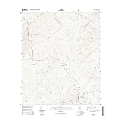
2014 Map of Gray
USGS Topo · Published 2014About this map
Gray serves as the seat of Jones County, positioned at a significant road junction where W Clinton St and N Jefferson St meet. This mid-2010s survey illustrates a landscape defined by small communities and rural family history, with several small settlements such as Clinton, Bradley, and Wayside dotting the primary corridors. Much of the northern terrain is occupied by the Oconee National Forest, where smaller watercourses like Marshal Cr and Shoal Cr carve through the wooded hills.
Find a feature on this map
90 named features on this map. Tap any name to fly to it.
Don’t see what you’re looking for? This feature index may not catch every label — zoom into the map to look around manually.
Map Details
Editions of this 2014 Gray Map
This is the sole edition of this map. No revisions or reprints were ever made.
Other maps of this area

1953 · Athens
USGS Topo · 1:250,000

1956 · Gordon
USGS Topo · 1:62,500

1956 · Macon
USGS Topo · 1:62,500

1957 · Macon
USGS Topo · 1:250,000

1958 · Macon
USGS Topo · 1:250,000

1958 · Athens
USGS Topo · 1:250,000

1959 · Athens
USGS Topo · 1:250,000

1963 · Athens
USGS Topo · 1:250,000

1964 · Macon
USGS Topo · 1:250,000

1964 · Gray
USGS Topo · 1:24,000