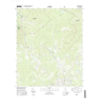
2017 Map of Gray
USGS Topo · Published 2017About this map
Oconee National Forest and the Piedmont National Wildlife Refuge dominate the northern and western reaches of this landscape in Jones County. The map details a transition from dense timber and protected lands to the residential and commercial centers of Gray and the nearby village of Clinton. Numerous family cemeteries are scattered throughout the region, including Hunt Cem, Gordon Cem, and Clawson Cem, providing valuable markers for local genealogical research.
Find a feature on this map
95 named features on this map. Tap any name to fly to it.
Don’t see what you’re looking for? This feature index may not catch every label — zoom into the map to look around manually.
Map Details
Editions of this 2017 Gray Map
This is the sole edition of this map. No revisions or reprints were ever made.
Other maps of this area

1953 · Athens
USGS Topo · 1:250,000

1956 · Gordon
USGS Topo · 1:62,500

1956 · Macon
USGS Topo · 1:62,500

1957 · Macon
USGS Topo · 1:250,000

1958 · Macon
USGS Topo · 1:250,000

1958 · Athens
USGS Topo · 1:250,000

1959 · Athens
USGS Topo · 1:250,000

1963 · Athens
USGS Topo · 1:250,000

1964 · Macon
USGS Topo · 1:250,000

1964 · Gray
USGS Topo · 1:24,000