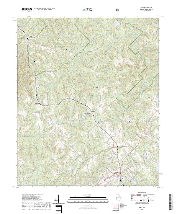
2024 Map of Gray
USGS Topo · Published 2024About this map
The Jones County Courthouse serves as the focal point for this area of central Georgia, where the seat of Gray and the adjacent community of Clinton mark a historic crossroads. The landscape is defined by the transition between protected federal lands, including the Piedmont National Wildlife Refuge in the northwest and sections of the Oconee National Forest to the northeast. Small settlements like Round Oak, Wayside, and Bradley are scattered along the corridor of Old Highway 11, reflecting a rural development pattern anchored by local faith and family history. Genealogists will find numerous small burial sites such as Edwards Cem and Clawson Cem, alongside more prominent landmarks like the Sunshine United Methodist Church Cem. The terrain is drained by a complex network of waterways, including Shoal Creek and Little Chehaw Creek, which feed into various local impoundments like Lowe Lake and Rowland Lake.
Find a feature on this map
98 named features on this map. Tap any name to fly to it.
Don’t see what you’re looking for? This feature index may not catch every label — zoom into the map to look around manually.
Map Details
Editions of this 2024 Gray Map
This is the sole edition of this map. No revisions or reprints were ever made.
Other maps of this area

1953 · Athens
USGS Topo · 1:250,000

1956 · Gordon
USGS Topo · 1:62,500

1956 · Macon
USGS Topo · 1:62,500

1957 · Macon
USGS Topo · 1:250,000

1958 · Macon
USGS Topo · 1:250,000

1958 · Athens
USGS Topo · 1:250,000

1959 · Athens
USGS Topo · 1:250,000

1963 · Athens
USGS Topo · 1:250,000

1964 · Macon
USGS Topo · 1:250,000

1964 · Gray
USGS Topo · 1:24,000