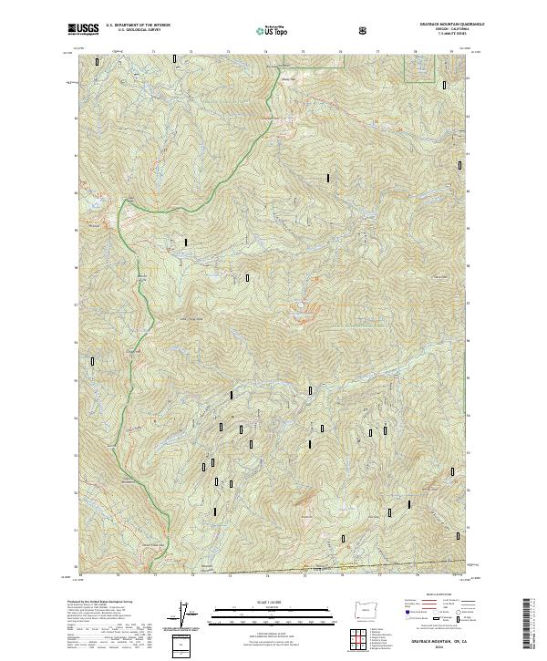
2024 Map of Grayback Mountain
USGS Topo · Published 2024About this map
Oregon Caves National Monument and Preserve anchors the western edge of this survey, where the subterranean wonders of the Siskiyou Mountains meet the high ridges of the Klamath Mountains. The landscape is a network of steep drainages and alpine basins, containing small but significant water bodies like Fish Lake, Miller Lake, and Hinkle Lake. A complex system of trails, including the Boundary Trl and O'Brien Creek Trl, navigates the transition between the Siskiyou National Forest and the Rogue River National Forest. The map documents the high-elevation divide along the Oregon and California border, marked by prominent summits such as Grayback Mtn, Mt Elijah, and the remote Red Buttes Wilderness in the southwest corner.
Find a feature on this map
68 named features on this map. Tap any name to fly to it.
Don’t see what you’re looking for? This feature index may not catch every label — zoom into the map to look around manually.
Map Details
Editions of this 2024 Grayback Mountain Map
This is the sole edition of this map. No revisions or reprints were ever made.
Other maps of this area

1908 · Grants Pass
USGS Topo · 1:125,000

1914 · Seiad
USGS Topo · 1:125,000

1922 · Seiad
USGS Topo · 1:125,000

1948 · Weed
USGS Topo · 1:250,000

1950 · Weed
USGS Topo · 1:250,000

1954 · Oregon Caves
USGS Topo · 1:62,500

1954 · Ruch
USGS Topo · 1:62,500

1955 · Seiad Valley
USGS Topo · 1:62,500

1955 · Medford
USGS Topo · 1:250,000

1956 · Happy Camp
USGS Topo · 1:62,500