
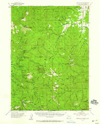
1954 Map of Oregon Caves
USGS Topo · Published 1956About this map
Oregon Caves National Monument serves as the centerpiece of this mid-century survey, surrounded by the high-elevation terrain of the Siskiyou National Forest. The landscape is a network of mining claims and remote shelters, including the Grayback Mine, Gold Pan Placer Mine, and the historic site of Tiger Springs California Bar along Sucker Creek. To the northeast, the settlement of Williams anchors the valley where Baltimore Creek and Butcher Creek converge, supported by local infrastructure like Browns Mill and the Baltimore Ditch.
Find a feature on this map
139 named features on this map. Tap any name to fly to it.
Don’t see what you’re looking for? This feature index may not catch every label — zoom into the map to look around manually.
Map Details
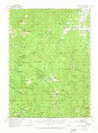
Editions of this 1954 Oregon Caves Map
3 editions found
Other maps of this area

1908 · Grants Pass
USGS Topo · 1:125,000

1914 · Seiad
USGS Topo · 1:125,000

1917 · Kerby
USGS Topo · 1:125,000

1918 · Kerby
USGS Topo · 1:125,000

1922 · Preston Peak
USGS Topo · 1:125,000

1922 · Seiad
USGS Topo · 1:125,000

1945 · Kerby
USGS Topo · 1:125,000

1948 · Weed
USGS Topo · 1:250,000

1950 · Weed
USGS Topo · 1:250,000

1954 · Cave Junction
USGS Topo · 1:62,500