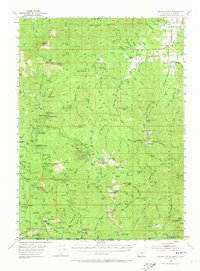
1954 Map of Oregon Caves
USGS Topo · Published 1973About this map
Oregon Caves National Monument serves as the focal point of this mid-century survey, showcasing the subterranean geography and surrounding high-country terrain of the Siskiyou Mountains. The settlement of Williams sits at the northeast corner of the sheet, where Williams Creek and its many tributaries like Bamboo Gl and Baltimore Creek support a landscape of early resource extraction and rural life. Traces of the region's prospecting history are visible through the Watts Mines, Yeager Mine, and the Gold Pan Placer Mine, while the Bristol Quarry indicates the ongoing industrial importance of the area's geology.
Find a feature on this map
175 named features on this map. Tap any name to fly to it.
Don’t see what you’re looking for? This feature index may not catch every label — zoom into the map to look around manually.
Map Details
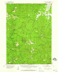
Editions of this 1954 Oregon Caves Map
3 editions found

Other maps of this area

1908 · Grants Pass
USGS Topo · 1:125,000

1914 · Seiad
USGS Topo · 1:125,000

1917 · Kerby
USGS Topo · 1:125,000

1918 · Kerby
USGS Topo · 1:125,000

1922 · Preston Peak
USGS Topo · 1:125,000

1922 · Seiad
USGS Topo · 1:125,000

1945 · Kerby
USGS Topo · 1:125,000

1948 · Weed
USGS Topo · 1:250,000

1950 · Weed
USGS Topo · 1:250,000

1954 · Cave Junction
USGS Topo · 1:62,500