
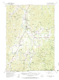
1954 Map of Cave Junction
USGS Topo · Published 1956About this map
The Illinois River valley serves as the central corridor for this mid-1950s survey of Southern Oregon, where the Redwood Highway links a series of small settlements and mining sites. To the north, Kerby and Cave Junction act as primary hubs, while the southern reaches near the California border reveal a landscape defined by hydraulic mining history and remote mountain outposts. The map documents the persistent footprint of early mineral extraction at the Esterly Mine and the Waldo townsite, as well as the Ramsey Mine tucked into the deep drainages of the Siskiyou National Forest. Unusual local landmarks such as a Drive-in Theater and a Landing Strip appear alongside older features like the Laurel Cemetery and the settlement at Takilma. The terrain is characterized by named gulches and ridges, including Buckhorn Ridge and numerous numeric labels such as Number Seven and Number Eight Gulch, marking the specific geography of this timber and mineral-rich region.
Find a feature on this map
90 named features on this map. Tap any name to fly to it.
Don’t see what you’re looking for? This feature index may not catch every label — zoom into the map to look around manually.
Map Details
Editions of this 1954 Cave Junction Map
3 editions found
Other maps of this area

1908 · Grants Pass
USGS Topo · 1:125,000

1914 · Seiad
USGS Topo · 1:125,000

1917 · Kerby
USGS Topo · 1:125,000

1918 · Kerby
USGS Topo · 1:125,000

1922 · Preston Peak
USGS Topo · 1:125,000

1922 · Seiad
USGS Topo · 1:125,000

1945 · Kerby
USGS Topo · 1:125,000

1945 · Gasquet
USGS Topo · 1:62,500

1948 · Weed
USGS Topo · 1:250,000

1950 · Weed
USGS Topo · 1:250,000