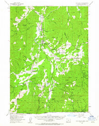
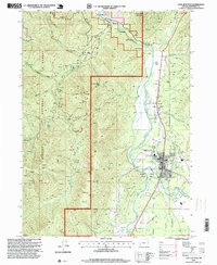
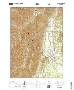
1954 Map of Cave Junction
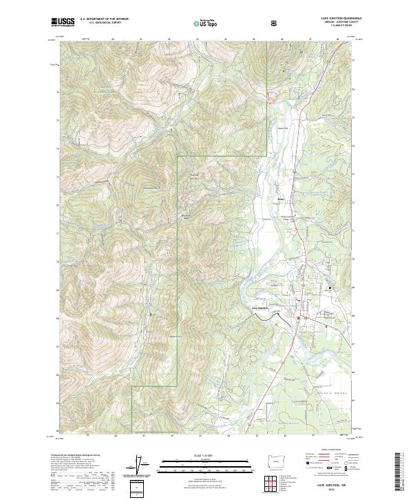
USGS Topo · Published 1963About this map
The Illinois River valley serves as the central corridor for this mid-century survey, anchoring a network of small settlements and industrial traces within the Siskiyou National Forest. Cave Junction emerges as a focal point along the Redwood Highway, supported by neighboring communities such as Kerby, Bridgeview, and Holland. The landscape reveals a transition from the valley's cultural features, including a Drive-in Theater, to the rugged mineral and timber interests found in the surrounding hills.
Find a feature on this map
110 named features on this map. Tap any name to fly to it.
Don’t see what you’re looking for? This feature index may not catch every label — zoom into the map to look around manually.
Map Details
Editions of this 1954 Cave Junction Map
3 editions found
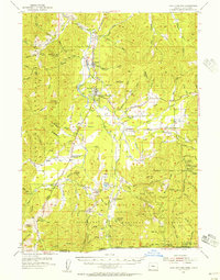
Historical Maps of Cave Junction Through Time
8 maps found
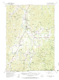
1954 Cave Junction
Josephine County, OR
1989 Cave Junction
Josephine County, OR
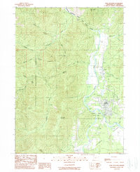
1996 Cave Junction
Josephine County, OR
2011 Cave Junction
Josephine County, OR
2014 Cave Junction
Josephine County, OR
2017 Cave Junction
Josephine County, OR
2020 Cave Junction
Josephine County, OR
2023 Cave Junction
Josephine County, OR