
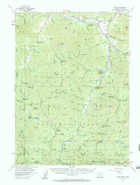
1954 Map of Ruch
USGS Topo · Published 1956About this map
Mining and forestry operations define this mid-century landscape where the Josephine and Jackson county lines meet at the California border. The rugged drainages of the Applegate River and Little Applegate River are dotted with active mineral extraction sites, including the Layton Mine, Star Mine, and the curiously named Bone of Contention Mine. These camps and mines represent a persistent resource-based economy that shaped the social geography of southern Oregon.
Find a feature on this map
127 named features on this map. Tap any name to fly to it.
Don’t see what you’re looking for? This feature index may not catch every label — zoom into the map to look around manually.
Map Details
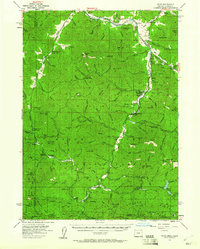
Editions of this 1954 Ruch Map
3 editions found
Other maps of this area

1886 · Shasta
USGS Topo · 1:250,000

1891 · Ashland
USGS Topo · 1:250,000

1893 · Ashland
USGS Topo · 1:250,000

1894 · Shasta
USGS Topo · 1:250,000

1897 · Ashland
USGS Topo · 1:250,000

1908 · Grants Pass
USGS Topo · 1:125,000

1914 · Seiad
USGS Topo · 1:125,000

1922 · Seiad
USGS Topo · 1:125,000

1932 · Yreka
USGS Topo · 1:96,000

1938 · Medford
USGS Topo · 1:125,000