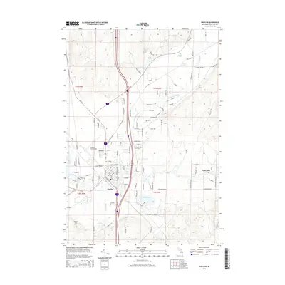
2014 Map of Grayling
USGS Topo · Published 2014About this map
Grayling serves as a critical junction in Crawford County where the north-south corridor of Old US-27 meets the winding waters of the Au Sable River. The settlement pattern reflects a mix of municipal development and military presence, anchored by the expansive Grayling Army Airfield and the historic Elmwood Cem. To the east, the landscape transitions into a network of recreational and riparian zones, including Louis Cabin Landing and the meandering East Branch Au Sable River. The surrounding terrain is punctuated by significant water bodies such as Shellenbarger Lake and Simpson Lakes, while Guyton Hill provides a distinct topographic landmark to the southwest. The presence of the McNamara Monument and specialized routes like the Army Tank Trl highlight the area's long-standing connection to state military operations and forest management.
Find a feature on this map
127 named features on this map. Tap any name to fly to it.
Don’t see what you’re looking for? This feature index may not catch every label — zoom into the map to look around manually.
Map Details
Editions of this 2014 Grayling Map
This is the sole edition of this map. No revisions or reprints were ever made.
Other maps of this area

1949 · Otsego Lake
USGS Topo · 1:62,500

1949 · Fletcher
USGS Topo · 1:62,500

1949 · Grayling
USGS Topo · 1:62,500

1950 · Cote Dame Marie
USGS Topo · 1:24,000

1950 · Lake Margrethe
USGS Topo · 1:24,000

1950 · Grayling
USGS Topo · 1:24,000

1950 · Roscommon North
USGS Topo · 1:24,000

1951 · K P Lake
USGS Topo · 1:24,000

1951 · Big Bradford Lake
USGS Topo · 1:24,000

1951 · Wakeley Lake
USGS Topo · 1:24,000
Featured Places
- Grayling, MI
- Frederic Township, MI
- Grayling Charter Township, MI
- Louis Cabin Landing, MI
- Crawford County, MI