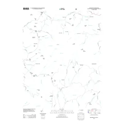
2013 Map of Grayson
USGS Topo · Published 2013About this map
The Tennessee Valley Divide snakes across this high-country landscape, marking a significant hydrologic boundary where the waters of the Gentry Cr and Big Horse Cr systems begin their divergent paths. In the southern Appalachian highlands near the junction of North Carolina, Tennessee, and Virginia, small settlements like Grayson and Flatwood are linked by a network of rural roads such as Flatwoods School Rd and Burnt School House Rd, names that hint at the community centers of previous generations. The topography is defined by prominent peaks and ridges including Pond Mountain, Bald Knob, and Fodderstack Mountain. Local history is embedded in the naming of smaller features like Joe Negro Shanty Hollow and Wills Shanty, while the timbering or transport legacy of the area is reflected in Tramroad Hollow. From the village of Whitetop to the quiet reaches of Green Cove, the map illustrates a landscape of high ridges and narrow creek valleys.
Find a feature on this map
128 named features on this map. Tap any name to fly to it.
Don’t see what you’re looking for? This feature index may not catch every label — zoom into the map to look around manually.
Map Details
Editions of this 2013 Grayson Map
This is the sole edition of this map. No revisions or reprints were ever made.
Other maps of this area

1891 · Abingdon
USGS Topo · 1:125,000

1893 · Cranberry
USGS Topo · 1:125,000

1894 · Abingdon
USGS Topo · 1:125,000

1895 · Cranberry
USGS Topo · 1:125,000

1899 · Cranberry
USGS Topo · 1:125,000

1902 · Cranberry
USGS Topo · 1:125,000

1909 · Abingdon
USGS Topo · 1:96,000

1911 · Abingdon
USGS Topo · 1:125,000

1935 · Konnarock
USGS Topo · 1:24,000

1935 · Grayson
USGS Topo · 1:24,000