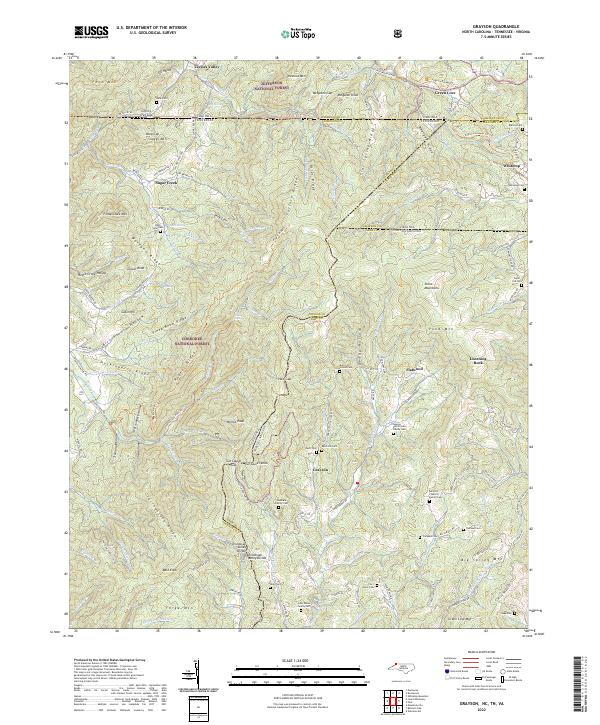
2022 Map of Grayson
USGS Topo · Published 2022About this map
Jefferson National Forest and Cherokee National Forest encompass much of this mountainous borderland, where the boundaries of North Carolina, Tennessee, and Virginia converge. The high elevations are defined by peaks like Fodderstack Mtn, Snaggy Mtn, and Bald Knob, with the Tennessee Valley Divide winding through the center of the sheet. Settlement is concentrated along narrow creek valleys and gaps, particularly around Grayson, Whitetop, and Taylors Valley.
Find a feature on this map
159 named features on this map. Tap any name to fly to it.
Don’t see what you’re looking for? This feature index may not catch every label — zoom into the map to look around manually.
Map Details
Editions of this 2022 Grayson Map
This is the sole edition of this map. No revisions or reprints were ever made.
Other maps of this area

1891 · Abingdon
USGS Topo · 1:125,000

1893 · Cranberry
USGS Topo · 1:125,000

1894 · Abingdon
USGS Topo · 1:125,000

1895 · Cranberry
USGS Topo · 1:125,000

1899 · Cranberry
USGS Topo · 1:125,000

1902 · Cranberry
USGS Topo · 1:125,000

1909 · Abingdon
USGS Topo · 1:96,000

1911 · Abingdon
USGS Topo · 1:125,000

1935 · Konnarock
USGS Topo · 1:24,000

1935 · Grayson
USGS Topo · 1:24,000