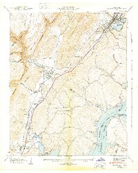
1943 Map of Graysville
USGS Topo · Published 1943About this map
Lone Mountain and the Cranmore Cove dominate the landscape of the Cumberland Ridge, where the steep Escarpment drops toward the valley floor. In the early 1940s, this region of East Tennessee shows a dense network of small communities and rural family landmarks along the Southern railroad line. The settlement of Graysville sits at the foot of the ridge, while to the south, Sale Creek and Hodgetown serve as local hubs. The eastern edge of the map is defined by the significant waters of the Tennessee River and the Hiwassee River, where the Chickamauga Reservation follows the shoreline of the newly created reservoir. Numerous country churches and burial grounds, such as the Mt Vernon Cem and New Providence Ch, are scattered across the terrain, reflecting the deep-rooted genealogy of Rhea, Hamilton, and Meigs Counties during this transformative period of Tennessee Valley development.
Find a feature on this map
65 named features on this map. Tap any name to fly to it.
Don’t see what you’re looking for? This feature index may not catch every label — zoom into the map to look around manually.
Map Details
Editions of this 1943 Graysville Map
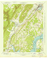
2 editions found
Other maps of this area

1886 · Cleveland
USGS Topo · 1:125,000

1887 · Kingston
USGS Topo · 1:125,000

1888 · Chattanooga
USGS Topo · 1:125,000

1891 · Kingston
USGS Topo · 1:125,000

1892 · Pikeville
USGS Topo · 1:125,000

1892 · Cleveland
USGS Topo · 1:125,000

1893 · Chattanooga
USGS Topo · 1:125,000

1893 · Kingston
USGS Topo · 1:125,000

1895 · Cleveland
USGS Topo · 1:125,000

1895 · Pikeville
USGS Topo · 1:125,000