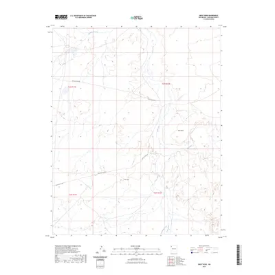
2023 Map of Great Bend
USGS Topo · Published 2023About this map
The Chaco River snakes through this high desert region of San Juan County, carving a distinctive path known as the Great Bend. This landscape is defined by its drainage systems, where ephemeral waterways like Sheep Springs Wash, Coyote Wash, and Salt Springs Wash converge toward the main river channel. The topography is marked by significant elevations such as Day Mesa, which overlooks the surrounding basins. Human infrastructure in this contemporary era is sparse, represented primarily by the winding corridor of Indian Svc Rte 5007, which provides the primary access through the townships of the Navajo Nation. This map captures the intricate relationship between the arid terrain and the vital watercourses that have shaped the geological and cultural history of the San Juan Basin.
Find a feature on this map
11 named features on this map. Tap any name to fly to it.
Don’t see what you’re looking for? This feature index may not catch every label — zoom into the map to look around manually.
Map Details
Editions of this 2023 Great Bend Map
This is the sole edition of this map. No revisions or reprints were ever made.
Other maps of this area

1889 · Chaco
USGS Topo · 1:250,000

1892 · Chaco
USGS Topo · 1:250,000

1927 · Sulphur Spring
USGS Topo · 1:96,000

1928 · Kirtland
USGS Topo · 1:125,000

1932 · Kirtland
USGS Topo · 1:125,000

1954 · Shiprock
USGS Topo · 1:250,000

1958 · Shiprock
USGS Topo · 1:250,000

1959 · Shiprock
USGS Topo · 1:250,000
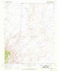
1966 · Sheep Springs
USGS Topo · 1:24,000
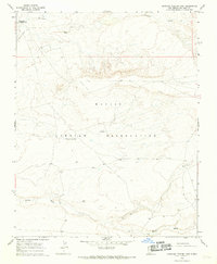
1966 · Burnham Trading Post
USGS Topo · 1:24,000