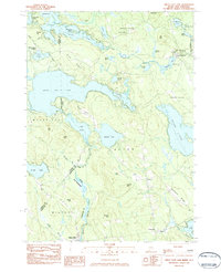
1983 Map of Great East Lake
USGS Topo · Published 1984About this map
Great East Lake anchors this borderland landscape, where the state line between Maine and New Hampshire carves through the center of several large water bodies. The terrain is a mix of dense glacial ponds and prominent ridges like Acton Ridge and Hubbard Ridge, reflecting the complex topography of York Co and Carroll Co counties. Local life in the early 1980s is centered around small settlements such as North Shapleigh and South Acton, with the Salmon Falls River serving as a historic boundary and drainage route south toward Milton Mills.
Find a feature on this map
63 named features on this map. Tap any name to fly to it.
Don’t see what you’re looking for? This feature index may not catch every label — zoom into the map to look around manually.
Map Details
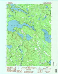
Editions of this 1983 Great East Lake Map
2 editions found
Other maps of this area

1891 · Berwick
USGS Topo · 1:62,500

1891 · Newfield
USGS Topo · 1:62,500

1893 · Berwick
USGS Topo · 1:62,500

1893 · Newfield
USGS Topo · 1:62,500

1919 · Alton
USGS Topo · 1:62,500

1928 · Wolfeboro
USGS Topo · 1:62,500

1933 · Berwick
USGS Topo · 1:48,000

1933 · Newfield
USGS Topo · 1:48,000

1937 · Newfield
USGS Topo · 1:62,500

1937 · Berwick
USGS Topo · 1:62,500