
1951 Map of Great Island
USGS Topo · Published 1952About this map
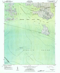
The Swanquarter National Wildlife Refuge dominates this coastal landscape at the edge of the Pamlico Sound. This 1951 hydrographic survey by the U.S. Coast & Geodetic Survey details a complex network of brackish bays and islands, including Judith Island and Great Island, which are separated by the Great Island Narrows. The map provides specific bathymetric data for maritime navigation, identifying shoals like Upper Middle and the expansive Middle Ground.
Find a feature on this map
32 named features on this map. Tap any name to fly to it.
Don’t see what you’re looking for? This feature index may not catch every label — zoom into the map to look around manually.
Map Details
Editions of this 1951 Great Island Map
2 editions found
Other maps of this area

1951 · Brant Island
USGS Topo · 1:24,000
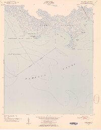
1951 · Bluff Point
USGS Topo · 1:24,000

1951 · Pamlico Point
USGS Topo · 1:24,000

1951 · Scranton
USGS Topo · 1:24,000

1951 · New Holland
USGS Topo · 1:24,000

1951 · Swanquarter
USGS Topo · 1:24,000

1953 · Rocky Mount
USGS Topo · 1:250,000

1954 · Rocky Mount
USGS Topo · 1:250,000
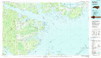
1985 · Bayboro
USGS Topo · 1:100,000
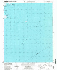
2000 · Little Fishing Point
USGS Topo · 1:24,000