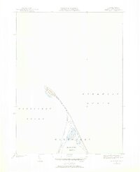
1951 Map of Great Point
USGS Topo · Published 1952About this map
Great Point marks the northernmost tip of Nantucket Island, forming a narrow sandy peninsula that separates the open Atlantic Ocean from Nantucket Sound. This mid-century coastal survey, revised from earlier field work by F.E. Russell, reveals a landscape defined by shifting sands and saltwater lagoons. The prominent Light at the tip serves as a critical maritime landmark for the surrounding shoals. Moving south, the terrain broadens into Coskata, where Coskata Pond is protected by the long, curving arm of Coatue Beach. The map illustrates the delicate geography of Coatue Point as it reaches toward the Head of the Harbor, highlighting the complex interplay of tide and sand that shapes this isolated coastal environment.
Find a feature on this map
10 named features on this map. Tap any name to fly to it.
Don’t see what you’re looking for? This feature index may not catch every label — zoom into the map to look around manually.
Map Details
Editions of this 1951 Great Point Map
4 editions found
Other maps of this area

1889 · Nantucket
USGS Topo · 1:62,500

1893 · Nantucket
USGS Topo · 1:62,500

1901 · Nantucket
USGS Topo · 1:62,500

1942 · Nantucket
USGS Topo · 1:125,000

1945 · Nantucket
USGS Topo · 1:31,680

1945 · Siasconset
USGS Topo · 1:31,680

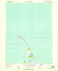
1945 · Great Point
USGS Topo · 1:31,680

1947 · Providence
USGS Topo · 1:250,000

1948 · Providence
USGS Topo · 1:250,000

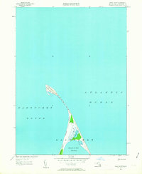
1951 · Great Point
USGS Topo · 1:31,680