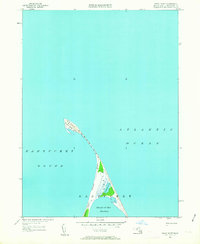
1951 Map of Great Point
USGS Topo · Published 1963About this map
Great Point stands as the northernmost terminal of the fragile barrier beach system protecting the northeast coast of Nantucket Island. This 1951 revision captures the narrow, hook-like geography of Coatue Point and the sheltering curve of Coskata Beach, which together form the Head of the Harbor. The map illustrates the precarious nature of these coastal landforms, where the tranquil waters of Coskata Pond are separated by only a thin strip of sand from the open Atlantic Ocean. Historically, this area has served as a critical navigational waypoint between the ocean and Nantucket Sound. The absence of roads or permanent settlements on this sheet highlights the wilderness character of the peninsula, focusing instead on the shifting sands and tidal marshes that define the island's extreme northern reaches.
Find a feature on this map
8 named features on this map. Tap any name to fly to it.
Don’t see what you’re looking for? This feature index may not catch every label — zoom into the map to look around manually.
Map Details
Editions of this 1951 Great Point Map
4 editions found
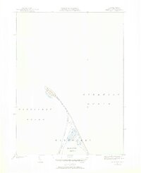
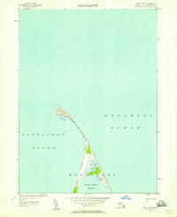
Other maps of this area

1889 · Nantucket
USGS Topo · 1:62,500

1893 · Nantucket
USGS Topo · 1:62,500

1901 · Nantucket
USGS Topo · 1:62,500

1942 · Nantucket
USGS Topo · 1:125,000

1945 · Nantucket
USGS Topo · 1:31,680

1945 · Siasconset
USGS Topo · 1:31,680

1945 · Great Point
USGS Topo · 1:31,680

1947 · Providence
USGS Topo · 1:250,000

1948 · Providence
USGS Topo · 1:250,000

1951 · Great Point
USGS Topo · 1:31,680