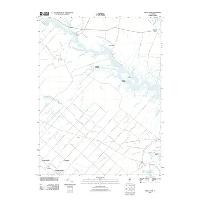
2011 Map of Green Bank
USGS Topo · Published 2011About this map
The Mullica River defines the geography of this Atlantic County landscape, winding through a complex network of wetlands and tidal creeks. In the north, the river separates Herman and Green Bank from Lower Bank and Wading River, where the terrain begins to break into salt marshes and small islands like Hog Islands. To the south, the pattern of settlement shifts from riverfront outposts like Glouster Landing and Clarks Landing to the inland agricultural and residential developments of Germania and Cologne. These inland areas are marked by a distinct grid of streets with European names, such as Bremen Ave and Antwerp Ave, reflecting the region's cultural heritage. Local history and genealogy are anchored by sites such as the Germania Cemetery and the Clarks Mill Burying Ground near the Moss Mill Lake Dam. Further east, the landscape transitions into the wooded surroundings of Tarkiln Branch and Big Creek.
Find a feature on this map
94 named features on this map. Tap any name to fly to it.
Don’t see what you’re looking for? This feature index may not catch every label — zoom into the map to look around manually.
Map Details
Editions of this 2011 Green Bank Map
This is the sole edition of this map. No revisions or reprints were ever made.
Other maps of this area

1887 · Atlantic City
USGS Topo · 1:62,500

1888 · Little Egg Harbor
USGS Topo · 1:62,500

1890 · Great Egg Harbor
USGS Topo · 1:62,500

1890 · Mullica
USGS Topo · 1:62,500

1893 · Great Egg Harbor
USGS Topo · 1:62,500

1893 · Little Egg Harbor
USGS Topo · 1:62,500

1894 · Atlantic City
USGS Topo · 1:62,500

1894 · Mullica
USGS Topo · 1:62,500

1898 · Mullica
USGS Topo · 1:62,500

1900 · Rancocas
USGS Topo · 1:125,000
Featured Places
- Galloway Township, NJ
- Mullica Township, NJ
- Egg Harbor City, NJ
- Bass River Township, NJ
- Port Republic, NJ