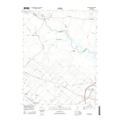
2014 Map of Green Bank
USGS Topo · Published 2014About this map
The Mullica River defines the heart of this coastal plain landscape, winding past a series of historic landings and settlements that once formed the backbone of the region's river-based economy. Small communities like Green Bank and Lower Bank sit along the northern reaches, while the southern portion of the quadrangle shows the inland development of Germania and Cologne. The map captures a transition from the marshy lowlands near the Hog Islands to the organized street grids of Vienna Gardens and Germania Gardens. Significant local landmarks include Clarks Mill near Mill Pond and several historical burial sites such as the Germania Cem and a designated Burying Ground near Unionville. The intersection of drainage systems like Landing Cr, Rubins Run, and Clarks Mill Stream illustrates the complex hydrology that influenced early settlement patterns and industrial sites like the mill.
Find a feature on this map
103 named features on this map. Tap any name to fly to it.
Don’t see what you’re looking for? This feature index may not catch every label — zoom into the map to look around manually.
Map Details
Editions of this 2014 Green Bank Map
This is the sole edition of this map. No revisions or reprints were ever made.
Other maps of this area

1887 · Atlantic City
USGS Topo · 1:62,500

1888 · Little Egg Harbor
USGS Topo · 1:62,500

1890 · Great Egg Harbor
USGS Topo · 1:62,500

1890 · Mullica
USGS Topo · 1:62,500

1893 · Great Egg Harbor
USGS Topo · 1:62,500

1893 · Little Egg Harbor
USGS Topo · 1:62,500

1894 · Atlantic City
USGS Topo · 1:62,500

1894 · Mullica
USGS Topo · 1:62,500

1898 · Mullica
USGS Topo · 1:62,500

1900 · Rancocas
USGS Topo · 1:125,000
Featured Places
- Galloway Township, NJ
- Mullica Township, NJ
- Egg Harbor City, NJ
- Bass River Township, NJ
- Port Republic, NJ