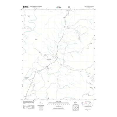
2011 Map of Green Bank
USGS Topo · Published 2011About this map
The National Radio Astronomy Observatory dominates the central valley of this Pocahontas County landscape, a unique intersection of scientific advancement and rural mountain life. Located near Green Bank and Arbovale, the facility is supported by local infrastructure like the Nrao Green Bank Airport. The topography is defined by the Greenbrier River in the northwest and a series of prominent peaks including Old House Knob, Asbury Knob, and Buffalo Mountain.
Find a feature on this map
55 named features on this map. Tap any name to fly to it.
Don’t see what you’re looking for? This feature index may not catch every label — zoom into the map to look around manually.
Map Details
Editions of this 2011 Green Bank Map
This is the sole edition of this map. No revisions or reprints were ever made.
Other maps of this area

1889 · Beverly
USGS Topo · 1:125,000

1892 · Beverly
USGS Topo · 1:125,000

1901 · Monterey
USGS Topo · 1:125,000

1922 · Spruce Knob
USGS Topo · 1:48,000

1922 · Cass
USGS Topo · 1:48,000

1922 · Durbin
USGS Topo · 1:48,000

1924 · Cass
USGS Topo · 1:62,500

1924 · Durbin
USGS Topo · 1:62,500

1924 · Spruce Knob
USGS Topo · 1:62,500

1941 · Monterey
USGS Topo · 1:62,500