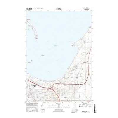
2015 Map of Green Bay East
USGS Topo · Published 2015About this map
Green Bay and its northeastern reaches are defined by the convergence of the East River and Baird Creek as they flow toward the expansive Lake Michigan shoreline. This 2015 survey illustrates the dense suburban and academic infrastructure of the region, anchored by the sprawling campus of the University of Wisconsin - Green Bay. Moving northeast along the coast, the landscape shifts into distinct residential and historical nodes such as Bay Settlement and Wequiock. These areas are characterized by a mix of early-settlement genealogy markers, including Holy Cross Cemetery, and topographical landmarks like Point Sable and Vincent Point. The map also captures the intricate street grid of the Preble area and smaller junctions like Haevers Corners, providing a detailed look at how modern transportation corridors interlace with established local neighborhoods and natural features like Dead Horse Bay.
Find a feature on this map
134 named features on this map. Tap any name to fly to it.
Don’t see what you’re looking for? This feature index may not catch every label — zoom into the map to look around manually.
Map Details
Editions of this 2015 Green Bay East Map
This is the sole edition of this map. No revisions or reprints were ever made.
Other maps of this area

1954 · De Pere
USGS Topo · 1:62,500

1954 · Green Bay West
USGS Topo · 1:24,000

1954 · Denmark
USGS Topo · 1:62,500

1954 · De Pere
USGS Topo · 1:24,000

1954 · New Franken
USGS Topo · 1:62,500

1954 · Green Bay East
USGS Topo · 1:24,000

1954 · Manitowoc
USGS Topo · 1:250,000

1954 · Bellevue
USGS Topo · 1:24,000

1954 · Green Bay
USGS Topo · 1:62,500

1955 · Green Bay
USGS Topo · 1:250,000