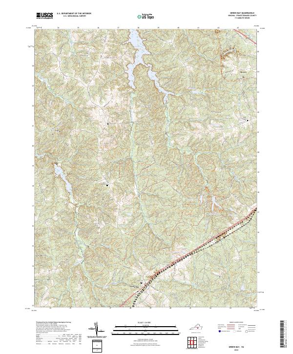
2022 Map of Green Bay
USGS Topo · Published 2022About this map
Green Bay and the surrounding Prince Edward County landscape are defined by a complex network of tributaries feeding into the Sandy River and Little Sandy Cr. This modern survey documents a rural topography where small settlements like Moran sit among family and community landmarks, including Sharon Cem, Mount Zion Cem, and the Bagby Memorial Cem. The terrain is punctuated by significant water bodies such as Hicks Lake, Goodwin Lake, and Prince Edward Lake, which suggest a landscape heavily utilized for local recreation and water management. To the west, the elevation rises toward Leigh Mtn, while the High Bridge Trl cuts across the northeastern corner, tracing a path through the woods near Marrowbone Cr. The map preserves the modern footprint of numerous forest roads and rural routes, such as Indian Spring RD and Liscomb Forest RD, that connect these isolated homesteads and cemeteries.
Find a feature on this map
76 named features on this map. Tap any name to fly to it.
Don’t see what you’re looking for? This feature index may not catch every label — zoom into the map to look around manually.
Map Details
Editions of this 2022 Green Bay Map
This is the sole edition of this map. No revisions or reprints were ever made.
Historical Maps of Green Bay Through Time
10 maps found
1967 Prospect
Prince Edward County, VA
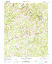
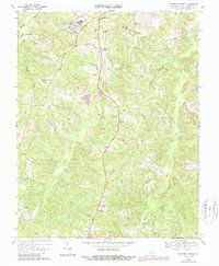
1968 Abilene
Prince Edward County, VA
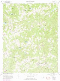
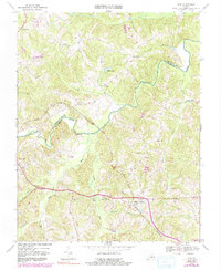
1968 Green Bay
Prince Edward County, VA
1968 Hampden Sydney
Prince Edward County, VA
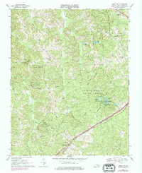
1968 Rice
Prince Edward County, VA
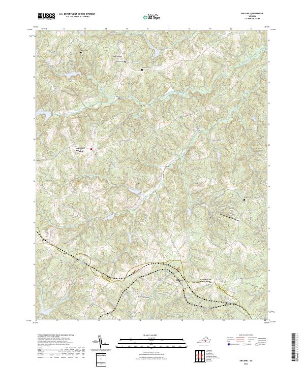
2022 Abilene
Prince Edward County, VA
2022 Green Bay
Prince Edward County, VA
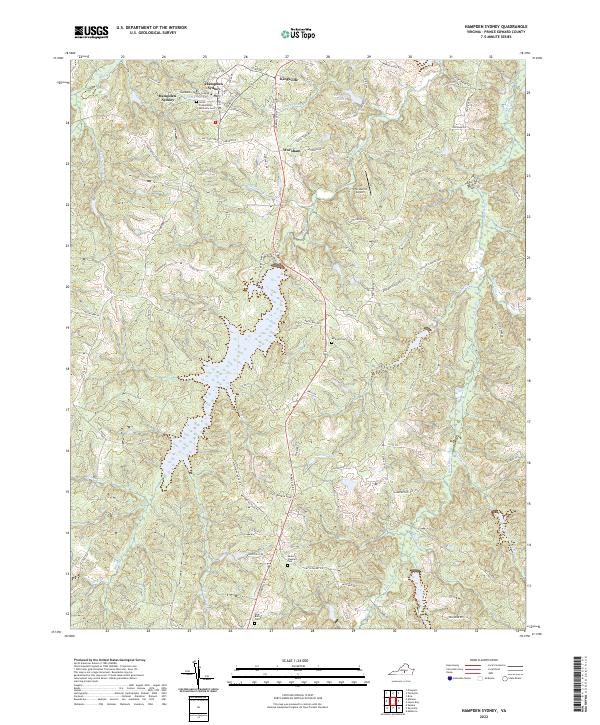
2022 Hampden Sydney
Prince Edward County, VA
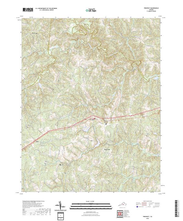
2022 Prospect
Prince Edward County, VA
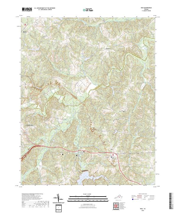
2022 Rice
Prince Edward County, VA