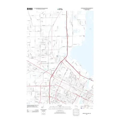
2013 Map of Green Bay West
USGS Topo · Published 2013About this map
Lambeau Field and the surrounding urban infrastructure of western Green Bay are the centerpieces of this 2013 topographic survey. The landscape is defined by the convergence of major waterways including the Fox River, East River, and Duck Creek as they flow toward the shoreline of Lake Michigan. Significant engineering works like the Leo Frigo Memorial Bridge and Tilleman Bridge span these river corridors, facilitating the complex transportation network that binds the city. Beyond the dense residential grid, the map records established local neighborhoods and small hubs such as Cormier, Duck Creek settlement, and Elm Tree Corners. The terrain rises toward the west at Burdon Hill and Platten Hill, overlooking the Oneida Golf Course and the winding course of Beaver Dam Cr. This map documents a modern era of the city's growth, where sports landmarks and industrial riverfronts coexist with suburban expansion.
Find a feature on this map
244 named features on this map. Tap any name to fly to it.
Don’t see what you’re looking for? This feature index may not catch every label — zoom into the map to look around manually.
Map Details
Editions of this 2013 Green Bay West Map
This is the sole edition of this map. No revisions or reprints were ever made.
Other maps of this area

1954 · De Pere
USGS Topo · 1:62,500

1954 · Green Bay West
USGS Topo · 1:24,000

1954 · Denmark
USGS Topo · 1:62,500

1954 · De Pere
USGS Topo · 1:24,000

1954 · New Franken
USGS Topo · 1:62,500

1954 · Green Bay East
USGS Topo · 1:24,000

1954 · Manitowoc
USGS Topo · 1:250,000

1954 · Bellevue
USGS Topo · 1:24,000

1954 · Green Bay
USGS Topo · 1:62,500

1955 · Green Bay
USGS Topo · 1:250,000