Loading...
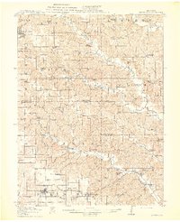
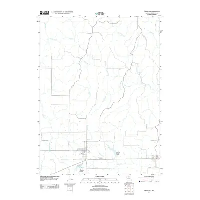
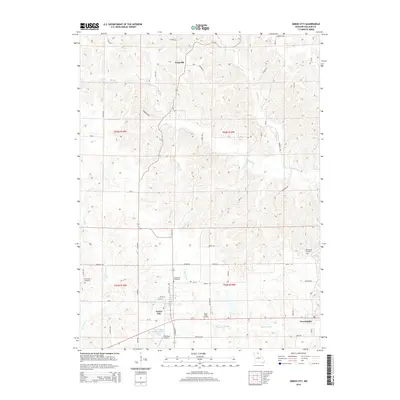
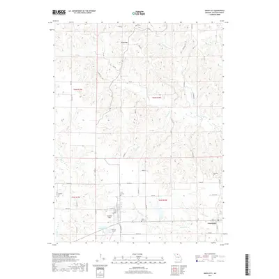
Loading map...1914 Map of Green City
USGS Topo · Published 1914About this map
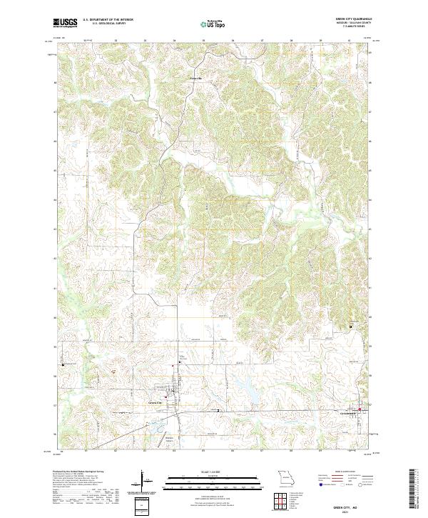
Unionville and the surrounding rural townships of Putnam, Sullivan, and Adair Counties are defined by an incredible density of local country schools in the years before district consolidation. This landscape is a patchwork of small-scale agriculture and early coal mining, particularly near Stahl and along the Quincy Omaha and Kansas City railroad line. The map captures a moment when nearly every square mile had its own social anchor, from the Lone Star School and Boon Hill School to the Port Arthur School near the southern border.
Find a feature on this map
77 named features on this map. Tap any name to fly to it.
Don’t see what you’re looking for? This feature index may not catch every label — zoom into the map to look around manually.
Map Details
Date Portrayed1914
Date Published1914
PublisherU.S. Geological Survey
Map TypeTopographic
Scale1:62,500
Physical Dimensions16.55 x 20.34 inches
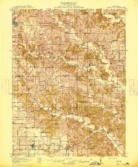
Editions of this 1914 Green City Map
2 editions found
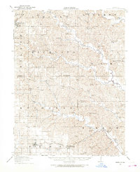
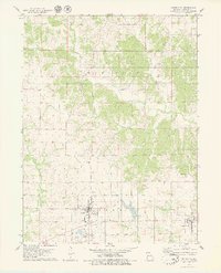
Historical Maps of Unionville Through Time
7 maps found
Featured Locations
Source Details
SourceU.S. Geological Survey
CopyrightPublic Domain