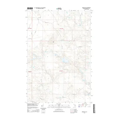
2014 Map of Green Hills
USGS Topo · Published 2014About this map
Green Hills occupies a central position within this portion of Marquette County, characterized by a complex network of glacial lakes and tributaries. The drainage of the Middle Branch Escanaba River feeds several significant water bodies, including Voelker Lake, East Voelker Lake, and the cluster of Hawkins Ponds. The terrain is marked by a high density of named water features like Big Bass Lake, Bear Lake, and Kidney Lake, connected by minor creeks such as Flopper Cr and Bass Cr.
Find a feature on this map
52 named features on this map. Tap any name to fly to it.
Don’t see what you’re looking for? This feature index may not catch every label — zoom into the map to look around manually.
Map Details
Editions of this 2014 Green Hills Map
This is the sole edition of this map. No revisions or reprints were ever made.
Other maps of this area
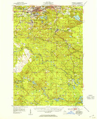
1952 · Ishpeming
USGS Topo · 1:62,500
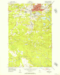
1952 · Ishpeming
USGS Topo · 1:24,000
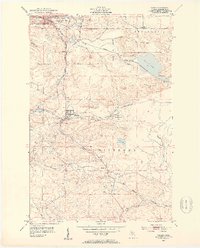
1952 · Palmer
USGS Topo · 1:24,000
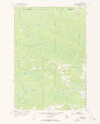
1955 · Ralph NE
USGS Topo · 1:24,000
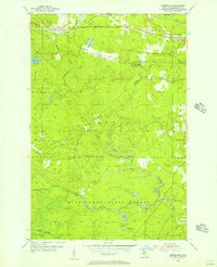
1955 · Greenwood
USGS Topo · 1:24,000
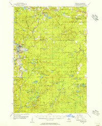
1955 · Republic
USGS Topo · 1:62,500
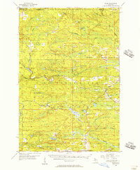
1955 · Ralph
USGS Topo · 1:62,500
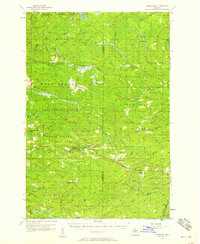
1957 · Northland
USGS Topo · 1:62,500
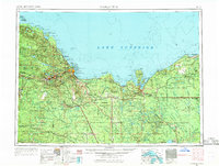
1958 · Marquette
USGS Topo · 1:250,000
1960 · Marquette
USGS Topo · 1:250,000