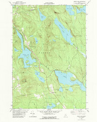
1982 Map of Green Lake
USGS Topo · Published 1982About this map
Green Lake and Phillips Lake dominate this inland Hancock County landscape, where the granite peaks of Big Hill and Eagle Bluff rise sharply above the water. At the start of the 1980s, the resort character of Lucerne-In-Maine is well-established, featuring a Golf Course and a network of secondary roads carved into the hillside. The map traces the rugged divide between the Penobscot and Union River watersheds, showing a transition from the structured residential clusters near Wilson Corner to the dense, pond-scattered terrain of Dedham and Otis.
Find a feature on this map
48 named features on this map. Tap any name to fly to it.
Don’t see what you’re looking for? This feature index may not catch every label — zoom into the map to look around manually.
Map Details
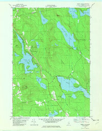
Editions of this 1982 Green Lake Map
2 editions found
Other maps of this area

1900 · Orland
USGS Topo · 1:62,500

1902 · Orono
USGS Topo · 1:62,500

1911 · Ellsworth
USGS Topo · 1:62,500

1929 · Great Pond
USGS Topo · 1:48,000

1932 · Great Pond
USGS Topo · 1:62,500

1940 · Ellsworth
USGS Topo · 1:62,500

1942 · Orland
USGS Topo · 1:62,500

1942 · Ellsworth
USGS Topo · 1:62,500

1944 · Orono
USGS Topo · 1:62,500

1946 · Orono
USGS Topo · 1:62,500