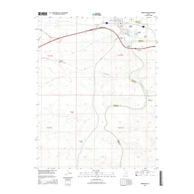
2014 Map of Green River
USGS Topo · Published 2014About this map
Green River serves as the central hub of this desert landscape, situated where the Gunnison Valley meets the Green River Valley. The town and the smaller community of Elgin are bisected by the river, which acts as the boundary between Grand and Emery Counties. This 2014 survey documents the modern layout of the town, including the Green River Municipal Airport and the Green River Cem, alongside the arterial path of US-191. Beyond the settled areas, the map details a network of drainage features such as Saleratus Wash, Browns Wash, and Fivemile Wash. Further south along the riverbank, the unique geological feature of Crystal Geyser stands near the mouth of Little Grand Wash, illustrating the intersection of the region's rare hydrology and its arid environment.
Find a feature on this map
50 named features on this map. Tap any name to fly to it.
Don’t see what you’re looking for? This feature index may not catch every label — zoom into the map to look around manually.
Map Details
Editions of this 2014 Green River Map
This is the sole edition of this map. No revisions or reprints were ever made.
Other maps of this area
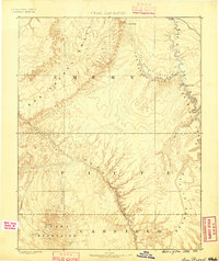
1885 · San Rafael
USGS Topo · 1:250,000
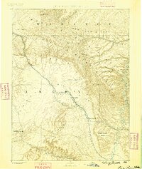
1886 · Price River
USGS Topo · 1:250,000
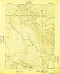
1896 · Price River
USGS Topo · 1:250,000
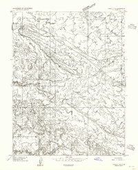
1954 · Tidwell 1 NE
USGS Topo · 1:24,000
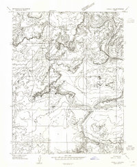
1954 · Tidwell 1 SW
USGS Topo · 1:24,000
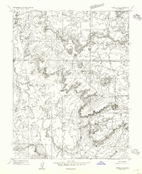
1954 · Tidwell 2 SE
USGS Topo · 1:24,000
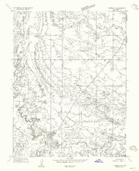
1954 · Tidwell 2 NE
USGS Topo · 1:24,000
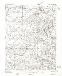
1954 · Tidwell 1 NW
USGS Topo · 1:24,000
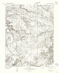
1954 · Tidwell 1 SE
USGS Topo · 1:24,000
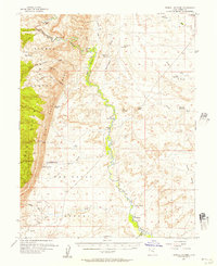
1954 · Tidwell Bottoms
USGS Topo · 1:62,500