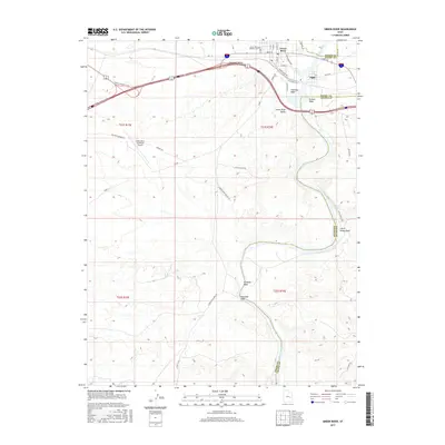
2017 Map of Green River
USGS Topo · Published 2017About this map
Green River serves as the focal point of this Eastern Utah landscape, where the waterway meanders through the Gunnison Valley and Green River Valley. The settlement patterns here are defined by the river’s path, with the community of Elgin situated on the eastern bank. Local history is anchored at the Green River Pioneer Cem near the northern edge of the town center, while modern infrastructure like the Green River Municipal Airport and the W Green River Gravel Pit reflect the area’s ongoing industrial and transportation role.
Find a feature on this map
45 named features on this map. Tap any name to fly to it.
Don’t see what you’re looking for? This feature index may not catch every label — zoom into the map to look around manually.
Map Details
Editions of this 2017 Green River Map
This is the sole edition of this map. No revisions or reprints were ever made.
Other maps of this area
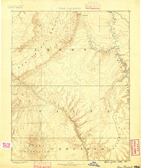
1885 · San Rafael
USGS Topo · 1:250,000
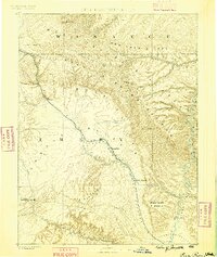
1886 · Price River
USGS Topo · 1:250,000
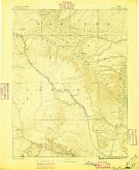
1896 · Price River
USGS Topo · 1:250,000
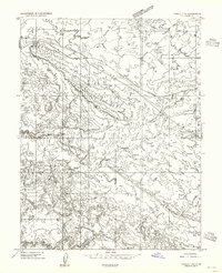
1954 · Tidwell 1 NE
USGS Topo · 1:24,000
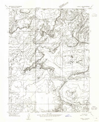
1954 · Tidwell 1 SW
USGS Topo · 1:24,000
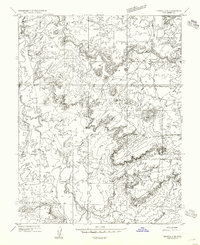
1954 · Tidwell 2 SE
USGS Topo · 1:24,000
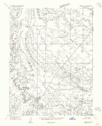
1954 · Tidwell 2 NE
USGS Topo · 1:24,000
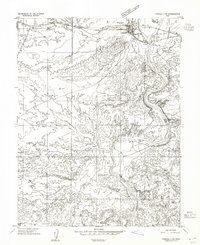
1954 · Tidwell 1 NW
USGS Topo · 1:24,000
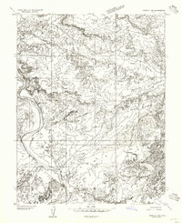
1954 · Tidwell 1 SE
USGS Topo · 1:24,000
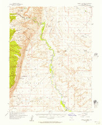
1954 · Tidwell Bottoms
USGS Topo · 1:62,500