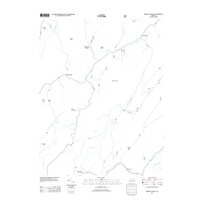
2013 Map of Green Valley
USGS Topo · Published 2013About this map
Green Valley is situated within a landscape defined by the parallel ridges and valleys of the Appalachian chain, where the Cowpasture River and the Calfpasture River drain the local watersheds. The settlement pattern follows the drainage lines and narrow gaps, with small communities like Armstrong and Yost anchored near the watercourses. The terrain is marked by numerous hollows and drafts, such as Gibson Hollow and Indian Draft, which suggest a long history of isolated farmsteads and rural navigation. Significant natural landmarks like Panther Gap provide the primary corridors for passage through the prominent heights of Chestnut Ridge and Black Oak Ridge. Historical activity is further indicated by McCowan Spring and White Sulphur Spring Br, pointing to the region's reliance on mineral springs and clean water sources. The road network, including State Rte 633 and various forestry roads, illustrates the balance between modern connectivity and the preservation of large wooded tracts.
Find a feature on this map
50 named features on this map. Tap any name to fly to it.
Don’t see what you’re looking for? This feature index may not catch every label — zoom into the map to look around manually.
Map Details
Editions of this 2013 Green Valley Map
This is the sole edition of this map. No revisions or reprints were ever made.
Other maps of this area

1894 · Staunton
USGS Topo · 1:125,000

1894 · Natural Bridge
USGS Topo · 1:125,000

1894 · Lexington
USGS Topo · 1:125,000

1901 · Monterey
USGS Topo · 1:125,000

1932 · Lexington
USGS Topo · 1:48,000

1937 · Lexington
USGS Topo · 1:62,500

1943 · Craigsville
USGS Topo · 1:62,500

1945 · Craigsville
USGS Topo · 1:62,500

1946 · Millboro
USGS Topo · 1:62,500

1946 · Williamsville
USGS Topo · 1:62,500