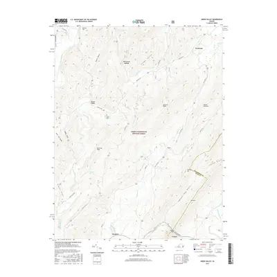
2016 Map of Green Valley
USGS Topo · Published 2016About this map
Goshen and the surrounding mountain ridges define this 2016 survey along the boundary of Rockbridge Co and Bath Co. The landscape is dominated by the steep terrain of the George Washington National Forest, where features like Mill Mtn and Walker Mountain tower over the narrow valley floors. Settlement patterns follow the winding paths of Stuart Run and the Cowpasture River, with small communities like Hotchkiss and Armstrong clustered near the water. Local history is anchored at the Green Valley Cem and the small settlement of Green Valley along Deerfield Rd. Notable geological and hydrological points such as Panther Gap and McCowan Spring provide essential landmarks for navigating this densely forested region of the Alleghenies.
Find a feature on this map
37 named features on this map. Tap any name to fly to it.
Don’t see what you’re looking for? This feature index may not catch every label — zoom into the map to look around manually.
Map Details
Editions of this 2016 Green Valley Map
This is the sole edition of this map. No revisions or reprints were ever made.
Other maps of this area

1894 · Staunton
USGS Topo · 1:125,000

1894 · Natural Bridge
USGS Topo · 1:125,000

1894 · Lexington
USGS Topo · 1:125,000

1901 · Monterey
USGS Topo · 1:125,000

1932 · Lexington
USGS Topo · 1:48,000

1937 · Lexington
USGS Topo · 1:62,500

1943 · Craigsville
USGS Topo · 1:62,500

1945 · Craigsville
USGS Topo · 1:62,500

1946 · Millboro
USGS Topo · 1:62,500

1946 · Williamsville
USGS Topo · 1:62,500