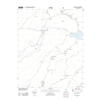
2012 Map of Green Valley
USGS Topo · Published 2012About this map
Green Valley and the mountain settlement of Las Cantilles anchor this 2012 survey of the Sierra Pelona Mountains. The landscape is defined by its critical role in regional water and power infrastructure, most notably the Aqueduct Tunnel and the Bouquet Pipeline that feeds into the Bouquet Reservoir. The Presence of the San Francisquito Powerhouse Number One illustrates the era's continued reliance on hydroelectric generation and historic water transport routes through these canyons.
Find a feature on this map
50 named features on this map. Tap any name to fly to it.
Don’t see what you’re looking for? This feature index may not catch every label — zoom into the map to look around manually.
Map Details
Editions of this 2012 Green Valley Map
This is the sole edition of this map. No revisions or reprints were ever made.
Other maps of this area

1900 · Fernando
USGS Topo · 1:62,500

1901 · Southern California Sheet No. 1
USGS Topo · 1:250,000

1903 · Tejon
USGS Topo · 1:125,000

1903 · Camulos
USGS Topo · 1:125,000

1903 · Santa Susana
USGS Topo · 1:62,500

1904 · Southern California Sheet No. 1
USGS Topo · 1:250,000

1915 · Elizabeth Lake
USGS Topo · 1:125,000

1917 · Elizabeth Lake
USGS Topo · 1:125,000

1929 · Saugus
USGS Topo · 1:24,000

1929 · Lang
USGS Topo · 1:24,000