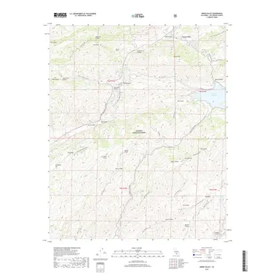
2018 Map of Green Valley
USGS Topo · Published 2018About this map
Green Valley serves as the primary settlement on this ridge-and-canyon landscape, situated north of the expansive Sierra Pelona range. The region is defined by critical infrastructure supporting Southern California's water needs, most notably the Los Angeles Aqueduct which traverses the terrain via the Aqueduct Tunnel and Aqueduct Spring. The eastern portion of the sheet is anchored by the Bouquet Reservoir, while hikers follow the Pacific Crest National Scenic Trail as it winds across the northern heights near Jupiter Mtn.
Find a feature on this map
48 named features on this map. Tap any name to fly to it.
Don’t see what you’re looking for? This feature index may not catch every label — zoom into the map to look around manually.
Map Details
Editions of this 2018 Green Valley Map
This is the sole edition of this map. No revisions or reprints were ever made.
Other maps of this area
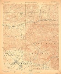
1900 · Fernando
USGS Topo · 1:62,500
1901 · Southern California Sheet No. 1
USGS Topo · 1:250,000
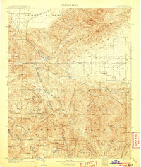
1903 · Tejon
USGS Topo · 1:125,000
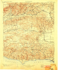
1903 · Camulos
USGS Topo · 1:125,000
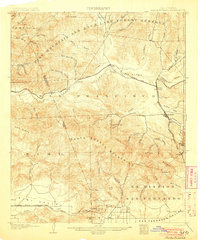
1903 · Santa Susana
USGS Topo · 1:62,500
1904 · Southern California Sheet No. 1
USGS Topo · 1:250,000
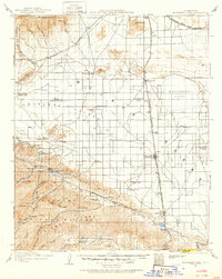
1915 · Elizabeth Lake
USGS Topo · 1:125,000
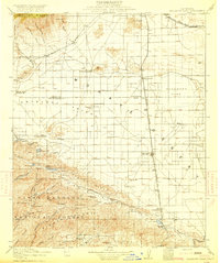
1917 · Elizabeth Lake
USGS Topo · 1:125,000
1929 · Saugus
USGS Topo · 1:24,000
1929 · Lang
USGS Topo · 1:24,000