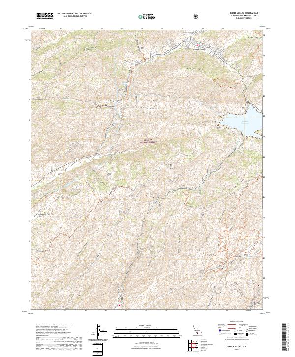
2021 Map of Green Valley
USGS Topo · Published 2021About this map
Green Valley serves as the primary settlement in this mountainous reach of the Angeles National Forest, north of Los Angeles. The landscape is defined by the high elevations of Jupiter Mtn and Sierra Pelona, with the Bouquet Reservoir providing a significant water storage feature in the eastern canyons. Water management is a dominant theme of the geography, evidenced by the presence of the Los Angeles Aqueduct and supporting features like Aqueduct Spring. The map documents a rugged canyon system, including the prominent San Francisquito Canyon and Bouquet Canyon, which have historically served as vital corridors through the Transverse Ranges. A complex network of recreation and access routes, such as the Portal Ohv Trl and Butterfield 4x4 Ohv Trl, crisscrosses the ridges, providing passage to landmarks like Table Rock and the flat expanse of Drinkwater Flat.
Find a feature on this map
60 named features on this map. Tap any name to fly to it.
Don’t see what you’re looking for? This feature index may not catch every label — zoom into the map to look around manually.
Map Details
Editions of this 2021 Green Valley Map
This is the sole edition of this map. No revisions or reprints were ever made.
Other maps of this area

1900 · Fernando
USGS Topo · 1:62,500

1901 · Southern California Sheet No. 1
USGS Topo · 1:250,000

1903 · Tejon
USGS Topo · 1:125,000

1903 · Camulos
USGS Topo · 1:125,000

1903 · Santa Susana
USGS Topo · 1:62,500

1904 · Southern California Sheet No. 1
USGS Topo · 1:250,000

1915 · Elizabeth Lake
USGS Topo · 1:125,000

1917 · Elizabeth Lake
USGS Topo · 1:125,000

1929 · Saugus
USGS Topo · 1:24,000

1929 · Lang
USGS Topo · 1:24,000