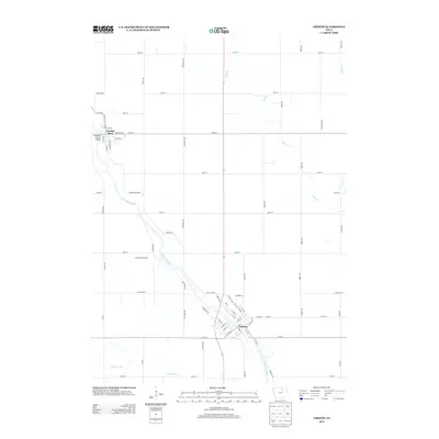
2013 Map of Greene
USGS Topo · Published 2013About this map
The Shell Rock River defines the corridor of development in this part of Butler County, flowing past the primary settlements of Greene and Marble Rock. In Greene, the street grid is oriented toward the riverbank, where crossings like the Bradford Street Bridge facilitate local transit. The surrounding landscape is dominated by a precise rectangular survey grid of county roads, including Jersey Ave and Kirkwood Ave, which partition the agricultural land between the river and its tributaries like Flood Cr and Coldwater Cr. This 2013 survey illustrates a rural Iowa landscape where water access points like Gates Bridge Access remain significant local landmarks amidst the vast sections of farmland that have shaped the region's geography for generations.
Find a feature on this map
70 named features on this map. Tap any name to fly to it.
Don’t see what you’re looking for? This feature index may not catch every label — zoom into the map to look around manually.
Map Details
Editions of this 2013 Greene Map
This is the sole edition of this map. No revisions or reprints were ever made.
Other maps of this area

1954 · Mason City
USGS Topo · 1:250,000
1954 · Waterloo
USGS Topo · 1:250,000
1955 · Waterloo
USGS Topo · 1:250,000

1957 · Mason City
USGS Topo · 1:250,000

1958 · Mason City
USGS Topo · 1:250,000
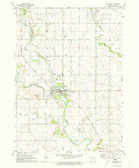
1971 · Rockford
USGS Topo · 1:24,000
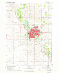
1971 · Charles City
USGS Topo · 1:24,000
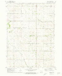
1971 · Nashua NW
USGS Topo · 1:24,000
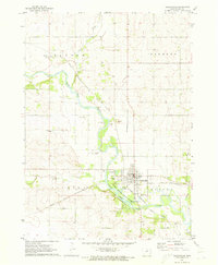
1971 · Clarksville
USGS Topo · 1:24,000
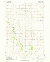
1971 · Roseville
USGS Topo · 1:24,000