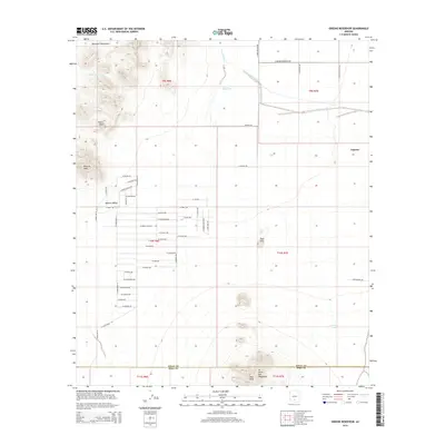
2014 Map of Greene Reservoir
USGS Topo · Published 2014About this map
Aguirre Valley dominates the central landscape of this Pinal County region, where an extensive grid of celestial-themed streets such as W Pisces Ave, W Zodiac Dr, and W Orion Dr indicates modern residential planning amidst the arid desert. To the north and south, the terrain rises into prominent landforms including the Sawtooth Mountains, Wildcat Peak, and the northern reaches of the W Silver Bell Mountains.
Find a feature on this map
59 named features on this map. Tap any name to fly to it.
Don’t see what you’re looking for? This feature index may not catch every label — zoom into the map to look around manually.
Map Details
Editions of this 2014 Greene Reservoir Map
This is the sole edition of this map. No revisions or reprints were ever made.
Other maps of this area
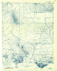
1934 · Silver Bell
USGS Topo · 1:125,000
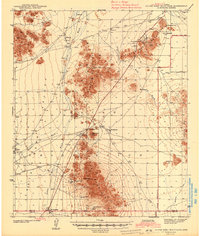
1942 · Silver Reef Mountains
USGS Topo · 1:62,500
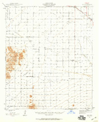
1947 · Eloy
USGS Topo · 1:62,500
1948 · Eloy
USGS Topo · 1:62,500

1956 · Tucson
USGS Topo · 1:250,000
1958 · Tucson
USGS Topo · 1:250,000
1959 · Tucson
USGS Topo · 1:250,000
1959 · Vaca Hills
USGS Topo · 1:62,500
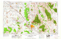
1962 · Tucson
USGS Topo · 1:250,000
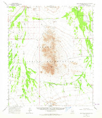
1963 · Santa Rosa Mountains
USGS Topo · 1:62,500