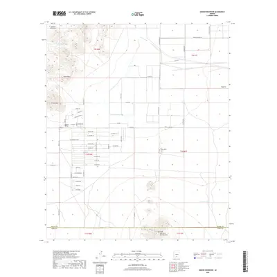
2018 Map of Greene Reservoir
USGS Topo · Published 2018About this map
The Sawtooth Mountains dominate the northwestern corner of this Arizona landscape, overlooking the broad expanse of the Aguirre Valley. In the late 2010s, this area reflects a complex transition from high desert wilderness to structured rural development. While significant peaks like Indian Head, Wildcat Peak, and Solo Peak in the West Silver Bell Mountains anchor the natural geography, a geometric grid of streets with celestial names—such as W Zodiac Dr and Constellation Dr—stretches across the valley floor. Water management is central to the area's utility, evidenced by the Greene Canal, Silver Reef Wash, and Porvenir Tank. The small settlement of Laguna sits at the eastern edge of the quadrangle, which spans the border between Pinal and Pima Counties.
Find a feature on this map
102 named features on this map. Tap any name to fly to it.
Don’t see what you’re looking for? This feature index may not catch every label — zoom into the map to look around manually.
Map Details
Editions of this 2018 Greene Reservoir Map
This is the sole edition of this map. No revisions or reprints were ever made.
Other maps of this area
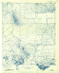
1934 · Silver Bell
USGS Topo · 1:125,000
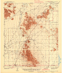
1942 · Silver Reef Mountains
USGS Topo · 1:62,500
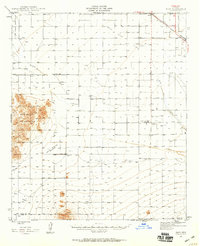
1947 · Eloy
USGS Topo · 1:62,500
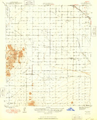
1948 · Eloy
USGS Topo · 1:62,500

1956 · Tucson
USGS Topo · 1:250,000
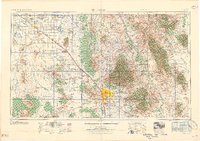
1958 · Tucson
USGS Topo · 1:250,000
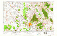
1959 · Tucson
USGS Topo · 1:250,000
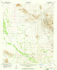
1959 · Vaca Hills
USGS Topo · 1:62,500
1962 · Tucson
USGS Topo · 1:250,000
1963 · Santa Rosa Mountains
USGS Topo · 1:62,500