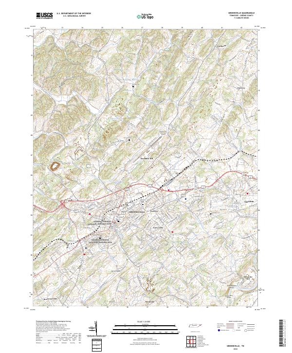
2022 Map of Greeneville
USGS Topo · Published 2022About this map
The Andrew Johnson National Historic Site and the historic Greene County Courthouse anchor the center of this Greeneville landscape, showcasing the area's deep ties to American political history. The map detail extends from the core of Greeneville out to neighboring Tusculum, home to Tusculum University. The terrain is defined by ridges and valleys, with Grassy Valley tucked between Peters Ridge and Bradburn Hill.
Find a feature on this map
241 named features on this map. Tap any name to fly to it.
Don’t see what you’re looking for? This feature index may not catch every label — zoom into the map to look around manually.
Map Details
Editions of this 2022 Greeneville Map
This is the sole edition of this map. No revisions or reprints were ever made.
Other maps of this area

1892 · Greeneville
USGS Topo · 1:125,000

1896 · Greeneville
USGS Topo · 1:125,000

1904 · Greeneville
USGS Topo · 1:125,000

1935 · Surgoinsville
USGS Topo · 1:48,000

1935 · Baileyton
USGS Topo · 1:24,000

1935 · McCloud
USGS Topo · 1:24,000

1935 · Mosheim
USGS Topo · 1:24,000

1935 · Cedar Creek
USGS Topo · 1:24,000

1935 · Fall Branch
USGS Topo · 1:48,000
1935 · Jearoldstown
USGS Topo · 1:24,000