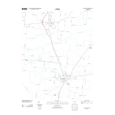
2013 Map of Greenfield
USGS Topo · Published 2013About this map
Greenfield and Sharon anchor this Weakley County landscape, where the agricultural patterns of West Tennessee meet a complex network of waterways. The terrain is defined by the Middle Fork Obion River and South Fork Obion River, supplemented by an extensive system of man-made drainage such as Buckor Ditch, Wing Ditch, and Lipscomb Ditch. These modifications reflect a long history of water management to support the local farming economy.
Find a feature on this map
116 named features on this map. Tap any name to fly to it.
Don’t see what you’re looking for? This feature index may not catch every label — zoom into the map to look around manually.
Map Details
Editions of this 2013 Greenfield Map
This is the sole edition of this map. No revisions or reprints were ever made.
Other maps of this area

1950 · Martin
USGS Topo · 1:24,000

1952 · Dresden
USGS Topo · 1:24,000

1953 · Dyer
USGS Topo · 1:24,000

1954 · Rutherford
USGS Topo · 1:24,000

1954 · Greenfield
USGS Topo · 1:24,000

1954 · Bradford
USGS Topo · 1:24,000

1956 · Gardner
USGS Topo · 1:24,000

1956 · Dyersburg
USGS Topo · 1:250,000

1966 · Trezevant West
USGS Topo · 1:24,000

1967 · Pillowville
USGS Topo · 1:24,000