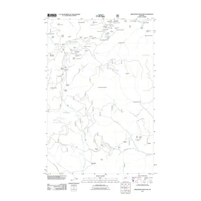
2011 Map of Greenhorn Mountain
USGS Topo · Published 2011About this map
Marysville remains the primary hub in this corner of Lewis and Clark County, anchored by the Marysville Post Office and the Marysville Vol Fire Dept. The landscape is defined by its deep mining history, with a high concentration of operations surrounding Drumlummon Hill, including the Drumlummon Mine, Goldsil Millsite, and the Nine-Hour Mine. To the south, the terrain rises toward Greenhorn Mountain and the strategic Mullan Pass.
Find a feature on this map
91 named features on this map. Tap any name to fly to it.
Don’t see what you’re looking for? This feature index may not catch every label — zoom into the map to look around manually.
Map Details
Editions of this 2011 Greenhorn Mountain Map
This is the sole edition of this map. No revisions or reprints were ever made.
Other maps of this area

1889 · Helena
USGS Topo · 1:250,000

1893 · Helena
USGS Topo · 1:250,000

1899 · Helena
USGS Topo · 1:250,000

1903 · Helena
USGS Topo · 1:250,000

1947 · Butte
USGS Topo · 1:250,000

1950 · Helena
USGS Topo · 1:62,500

1958 · Butte
USGS Topo · 1:250,000

1959 · Elliston
USGS Topo · 1:62,500

1960 · Butte
USGS Topo · 1:250,000

1962 · Butte
USGS Topo · 1:250,000