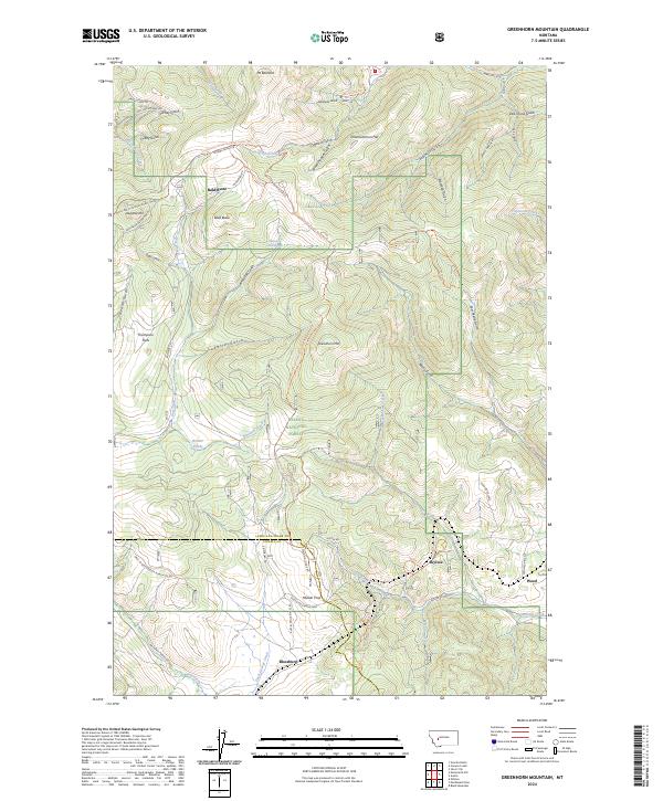
2024 Map of Greenhorn Mountain
USGS Topo · Published 2024About this map
Mullan Pass serves as a central anchor for this portion of the Helena National Forest, marking a historic crossing point over the Continental Divide. The high-elevation terrain is defined by a dense network of gulches and ridges, including Drumlummon Hill and Mt Belmont. Small settlements and named locations like Blossburg, Skyline, and Weed are concentrated along the southern corridor near the Austin Mullan Pass Rd. The map illustrates a landscape shaped by both early transportation routes and resource extraction, with features such as Thompson Flats and the Beaver Ponds near Meadow Creek providing water and level ground amidst the steep slopes of Greenhorn Mtn and Bald Butte. Access is provided through a web of Forest Service roads, including Snowshoe Deadwood Rd and Ottawa Gulch Rd, which navigate the complex drainage systems of Silver Creek and Dog Creek.
Find a feature on this map
62 named features on this map. Tap any name to fly to it.
Don’t see what you’re looking for? This feature index may not catch every label — zoom into the map to look around manually.
Map Details
Editions of this 2024 Greenhorn Mountain Map
This is the sole edition of this map. No revisions or reprints were ever made.
Other maps of this area

1889 · Helena
USGS Topo · 1:250,000

1893 · Helena
USGS Topo · 1:250,000

1899 · Helena
USGS Topo · 1:250,000

1903 · Helena
USGS Topo · 1:250,000

1947 · Butte
USGS Topo · 1:250,000

1950 · Helena
USGS Topo · 1:62,500

1958 · Butte
USGS Topo · 1:250,000

1959 · Elliston
USGS Topo · 1:62,500

1960 · Butte
USGS Topo · 1:250,000

1962 · Butte
USGS Topo · 1:250,000