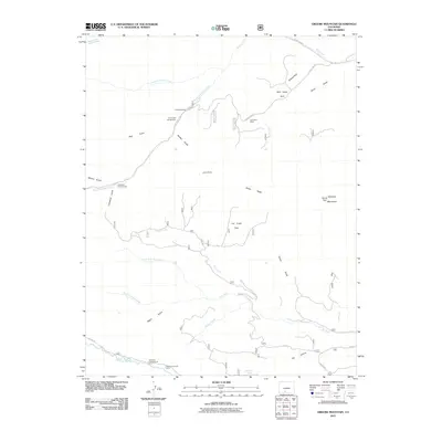
2011 Map of Greenie Mountain
USGS Topo · Published 2011About this map
Greenie Mountain stands as the high point in this high-altitude landscape of southern Colorado, where the headwaters of numerous drainages carve through the terrain. The southern boundary is defined by the Alamosa River, which supports a corridor of human activity including Alamosa Campground and the Phillips University Camp. The mapping reveals a distinct network of seasonal camps and ranching outposts, such as the Lost Cabin Ranch and Camp Val Verde, illustrating how the land has been utilized for both recreation and livestock.
Find a feature on this map
41 named features on this map. Tap any name to fly to it.
Don’t see what you’re looking for? This feature index may not catch every label — zoom into the map to look around manually.
Map Details
Editions of this 2011 Greenie Mountain Map
This is the sole edition of this map. No revisions or reprints were ever made.
Other maps of this area

1915 · Del Norte
USGS Topo · 1:125,000

1917 · Del Norte
USGS Topo · 1:125,000

1922 · Conejos
USGS Topo · 1:125,000

1945 · Durango
USGS Topo · 1:250,000

1953 · Durango
USGS Topo · 1:250,000

1954 · Durango
USGS Topo · 1:250,000

1961 · Durango
USGS Topo · 1:250,000

1963 · Durango
USGS Topo · 1:250,000

1964 · Monte Vista
USGS Topo · 1:24,000

1966 · Durango
USGS Topo · 1:250,000