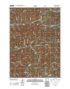
2011 Map of Greenleaf
USGS Topo · Published 2011About this map
Greenleaf and Linslaw anchor this West Oregon landscape, where the Siuslaw River carves its path through a dense network of creek-fed valleys. The map documents a rugged timber and agricultural region defined by landmarks like Bailey Ridge and Walker Point. Settlement patterns are closely tied to the water, with the Siuslaw River meeting tributaries such as Wildcat Creek and Sutherland Creek near the southern boundary.
Find a feature on this map
46 named features on this map. Tap any name to fly to it.
Don’t see what you’re looking for? This feature index may not catch every label — zoom into the map to look around manually.
Map Details
Editions of this 2011 Greenleaf Map
This is the sole edition of this map. No revisions or reprints were ever made.
Other maps of this area

1918 · Mapleton
USGS Topo · 1:48,000

1919 · Earl
USGS Topo · 1:48,000

1940 · Mapleton
USGS Topo · 1:62,500

1941 · Blachly
USGS Topo · 1:62,500

1942 · Blachly
USGS Topo · 1:62,500

1942 · Roman Nose Mtn
USGS Topo · 1:62,500

1943 · Goodwin Peak
USGS Topo · 1:62,500

1945 · Mapleton
USGS Topo · 1:62,500

1945 · Roman Nose Mtn
USGS Topo · 1:62,500

1953 · Salem
USGS Topo · 1:250,000