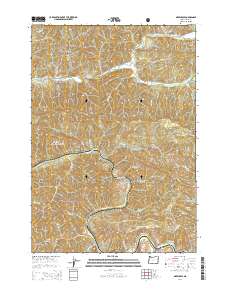
2014 Map of Greenleaf
USGS Topo · Published 2014About this map
Linslaw and Greenleaf anchor this survey of the Coast Range terrain in Lane County, Oregon, where the winding Siuslaw River and Lake Creek define the drainage patterns of the region. The landscape is dominated by the Siuslaw National Forest, characterized by steep ridges and numerous small tributaries such as Wildcat Cr and San Antone Cr. This map documents a transitional period where historic routes like Stagecoach Rd and Old Stagecoach Rd intersect with modern state routes like Or-126 and Or-36. Local history is preserved at the Linslaw Cem, situated near the southern reach of the river. Prominent landforms such as Bailey Ridge and Walker Point provide clear reference points within the heavily timbered mountain environment, illustrating the geographic isolation and river-centric layout of these small rural communities.
Find a feature on this map
85 named features on this map. Tap any name to fly to it.
Don’t see what you’re looking for? This feature index may not catch every label — zoom into the map to look around manually.
Map Details
Editions of this 2014 Greenleaf Map
This is the sole edition of this map. No revisions or reprints were ever made.
Other maps of this area
1918 · Mapleton
USGS Topo · 1:48,000
1919 · Earl
USGS Topo · 1:48,000
1940 · Mapleton
USGS Topo · 1:62,500
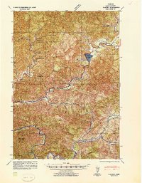
1941 · Blachly
USGS Topo · 1:62,500
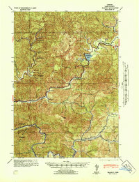
1942 · Blachly
USGS Topo · 1:62,500
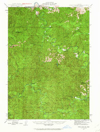
1942 · Roman Nose Mtn
USGS Topo · 1:62,500
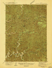
1943 · Goodwin Peak
USGS Topo · 1:62,500
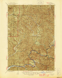
1945 · Mapleton
USGS Topo · 1:62,500
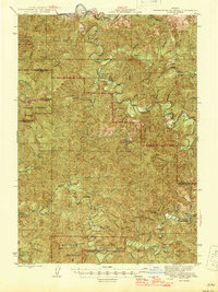
1945 · Roman Nose Mtn
USGS Topo · 1:62,500

1953 · Salem
USGS Topo · 1:250,000