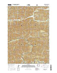
2017 Map of Greenleaf
USGS Topo · Published 2017About this map
The Siuslaw River and its numerous tributaries, including Wildcat Cr and Lake Creek, define the topography of this section of Lane County. The settlement of Linslaw is situated along the river's bend in the southern portion of the quadrangle, where the Linslaw Cem provides a point of genealogical interest. To the north, the community of Greenleaf sits near the confluence of Wheeler Cr and Lake Cr, illustrating the historical importance of these watercourses for local orientation.
Find a feature on this map
53 named features on this map. Tap any name to fly to it.
Don’t see what you’re looking for? This feature index may not catch every label — zoom into the map to look around manually.
Map Details
Editions of this 2017 Greenleaf Map
This is the sole edition of this map. No revisions or reprints were ever made.
Other maps of this area
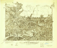
1918 · Mapleton
USGS Topo · 1:48,000
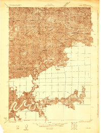
1919 · Earl
USGS Topo · 1:48,000
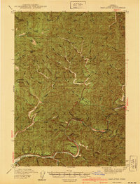
1940 · Mapleton
USGS Topo · 1:62,500
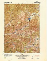
1941 · Blachly
USGS Topo · 1:62,500
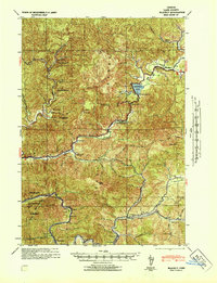
1942 · Blachly
USGS Topo · 1:62,500
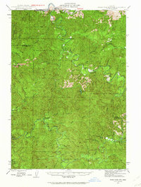
1942 · Roman Nose Mtn
USGS Topo · 1:62,500
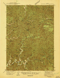
1943 · Goodwin Peak
USGS Topo · 1:62,500
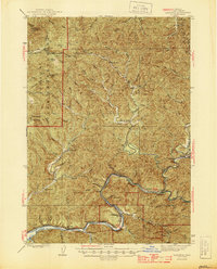
1945 · Mapleton
USGS Topo · 1:62,500
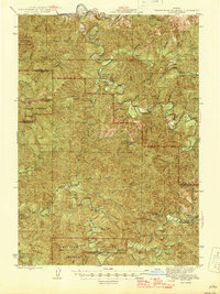
1945 · Roman Nose Mtn
USGS Topo · 1:62,500

1953 · Salem
USGS Topo · 1:250,000