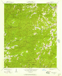
1940 Map of Greens Creek
USGS Topo · Published 1957About this map
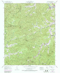
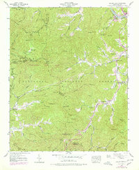
Nantahala National Forest covers much of this North Carolina mountain landscape, where the Tuckasegee River flows past Hillsboro in the north and the Southern Railway follows the riverbank. This 1940 field survey captures a network of rural communities defined by small schools and churches, including Greens Creek Sch, Savannah Sch, and the Locust Field Ch. The map provides a detailed view of the complex topography where Jackson, Swain, and Macon counties converge, marked by prominent peaks like Cowee Bald with its Lookout Tower and Raven Mtn. Local family history is preserved through labels like Eagle Cem and settlements such as Pumpkintown. The road network of the era, featuring U.S. 19 and U.S. 23, illustrates how transportation followed the natural contours of the gaps and creek forks.
Find a feature on this map
74 named features on this map. Tap any name to fly to it.
Don’t see what you’re looking for? This feature index may not catch every label — zoom into the map to look around manually.
Map Details
Editions of this 1940 Greens Creek Map
6 editions found
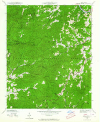
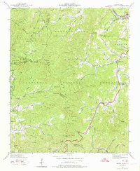
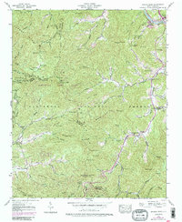
Other maps of this area

1891 · Cowee
USGS Topo · 1:125,000

1897 · Cowee
USGS Topo · 1:125,000

1907 · Cowee
USGS Topo · 1:125,000

1933 · Bryson
USGS Topo · 1:62,500

1935 · Franklin
USGS Topo · 1:24,000

1935 · Cullowhee
USGS Topo · 1:24,000

1935 · Addie
USGS Topo · 1:24,000

1935 · Glenville
USGS Topo · 1:24,000

1935 · Corbin Knob
USGS Topo · 1:24,000
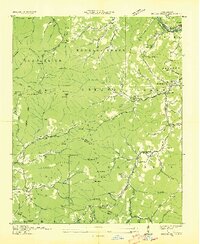
1936 · Greens Creek
USGS Topo · 1:24,000