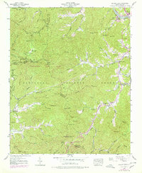
1940 Map of Greens Creek
USGS Topo · Published 1986About this map
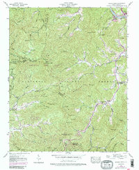
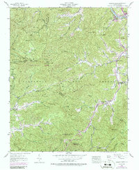
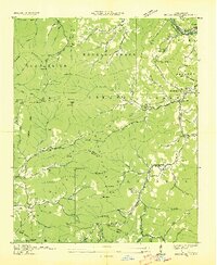
The Tuckasegee River corridor near Dillsboro serves as the focal point for this survey, where the Southern railroad line follows the riverbank past Locust Field Ch. This landscape is defined by the convergence of mountain ridges and narrow valleys where small settlements like Greens Creek and Gay took root. The map illustrates a complex network of creeks, including Savannah Creek and Beasley Creek, which carved the paths for early mountain roads. High peaks such as Cowee Bald and Raven Mtn dominate the western portion, which was largely protected as part of the Nantahala National Forest and Nantahala Game Lands. For local historians, the inclusion of remote sites like Liberty Ch and New Savannah Ch provides a look at the spiritual and social hubs of these mountain coves during the mid-20th century.
Find a feature on this map
103 named features on this map. Tap any name to fly to it.
Don’t see what you’re looking for? This feature index may not catch every label — zoom into the map to look around manually.
Map Details
Editions of this 1940 Greens Creek Map
6 editions found
Other maps of this area

1891 · Cowee
USGS Topo · 1:125,000

1897 · Cowee
USGS Topo · 1:125,000

1907 · Cowee
USGS Topo · 1:125,000

1933 · Bryson
USGS Topo · 1:62,500

1935 · Franklin
USGS Topo · 1:24,000

1935 · Cullowhee
USGS Topo · 1:24,000

1935 · Addie
USGS Topo · 1:24,000

1935 · Glenville
USGS Topo · 1:24,000

1935 · Corbin Knob
USGS Topo · 1:24,000
1936 · Greens Creek
USGS Topo · 1:24,000