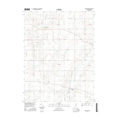
2016 Map of Greens Fork
USGS Topo · Published 2016About this map
Greens Fork and Economy anchor this Wayne County landscape, where the agricultural grid is intersected by a complex drainage network of creeks and runs. The terrain is defined by the headwaters of Martindale Creek and the southern flow of Greens Fork, with local hydrology including Osborne Lakes and numerous small tributaries like Economy Run and Pale Run. The road network reflects early transportation routes, notably Indian Trail Rd in the northwest. For those studying the heritage of the region, the placement of Fairfield Cem, Economy Cem, and Greens Fork Cem provides a clear view of the area's established community centers and rural hubs. The map detail highlights the distribution of homesteads along township and range lines, particularly across t18n r13e and t17n r13e, tracing the long-standing layout of these Indiana townships.
Find a feature on this map
71 named features on this map. Tap any name to fly to it.
Don’t see what you’re looking for? This feature index may not catch every label — zoom into the map to look around manually.
Map Details
Editions of this 2016 Greens Fork Map
This is the sole edition of this map. No revisions or reprints were ever made.
Other maps of this area
1915 · New Paris
USGS Topo · 1:48,000
1916 · Winchester
USGS Topo · 1:48,000
1918 · Winchester
USGS Topo · 1:62,500
1918 · New Paris
USGS Topo · 1:62,500
1943 · Winchester
USGS Topo · 1:62,500
1953 · Cincinnati
USGS Topo · 1:250,000
1953 · Muncie
USGS Topo · 1:250,000
1956 · Muncie
USGS Topo · 1:250,000
1957 · Cincinnati
USGS Topo · 1:250,000
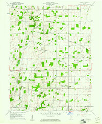
1960 · Carlos
USGS Topo · 1:24,000